Will Calderdale Energy Park cause a repeat of the 1824 Bog Burst?
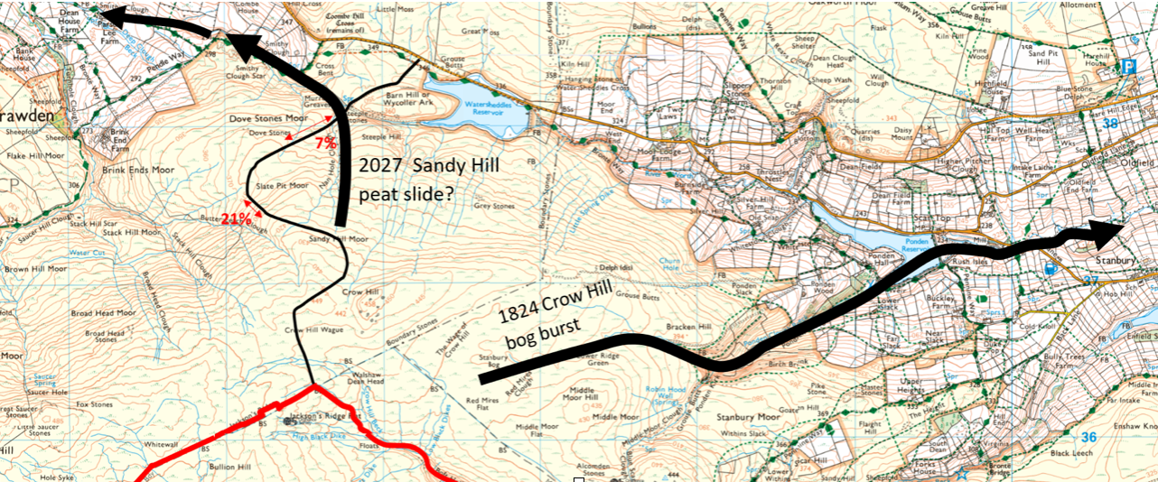
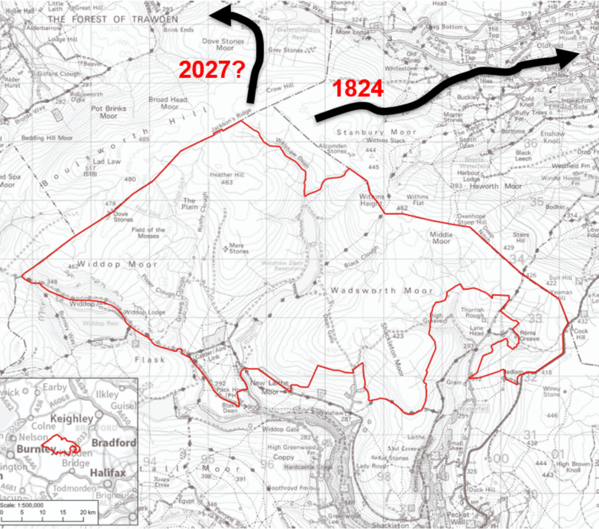
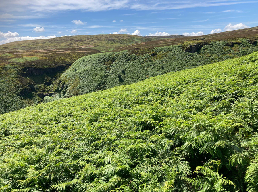
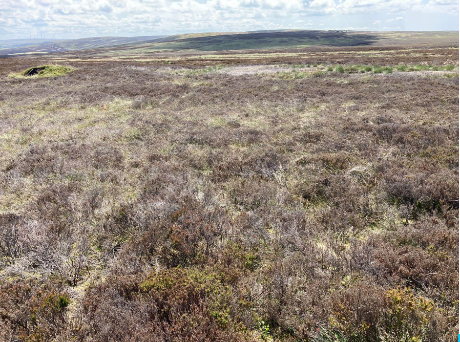
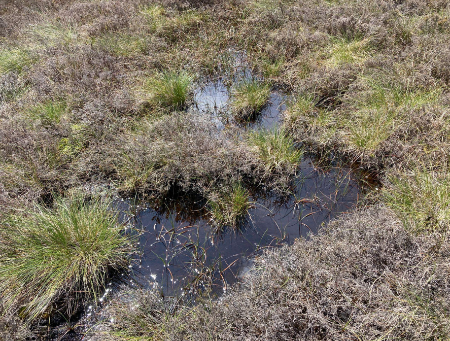
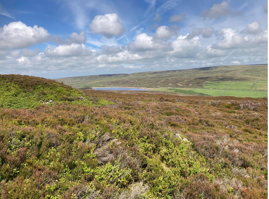
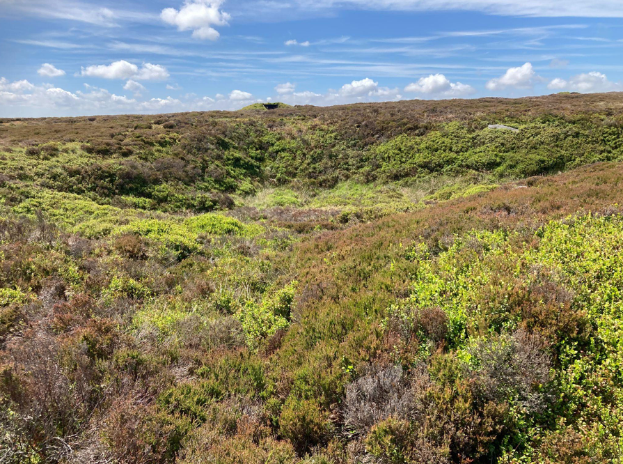
Looking across to Watersheddles Reservoir, from the edge of Middle Moor Flat over the possible route of the 1824 mudslide. Photo John Page
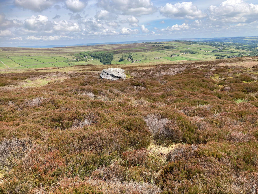
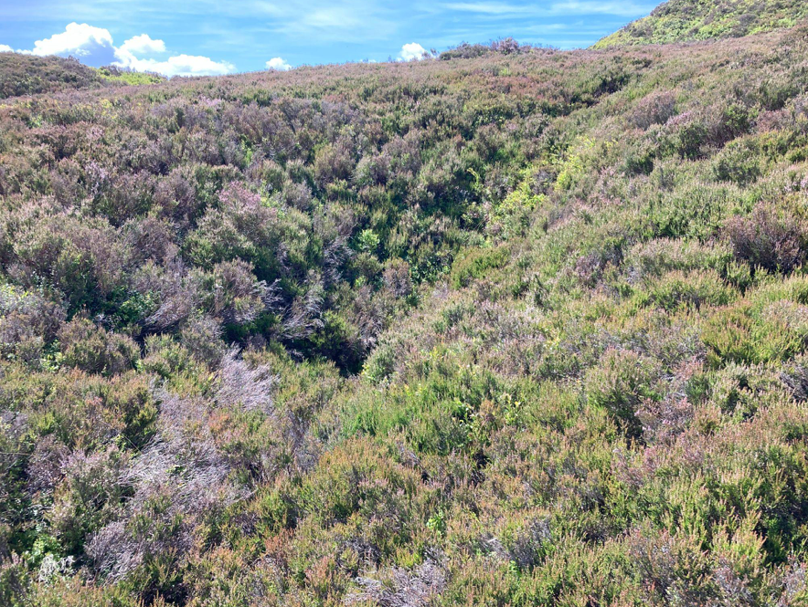
The torrent was up to five metres deep and large boulders were picked up and hurled through the air. The devastation can still be seen on the cratered moors today. For weeks afterwards, the Worth was full of dead fish. Ann Dinsdale, Principal Curator at the Brontë Parsonage Museum, narrates a short film of the event.
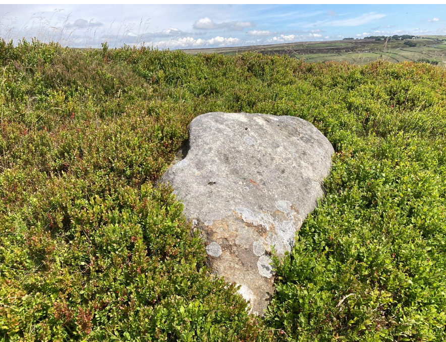
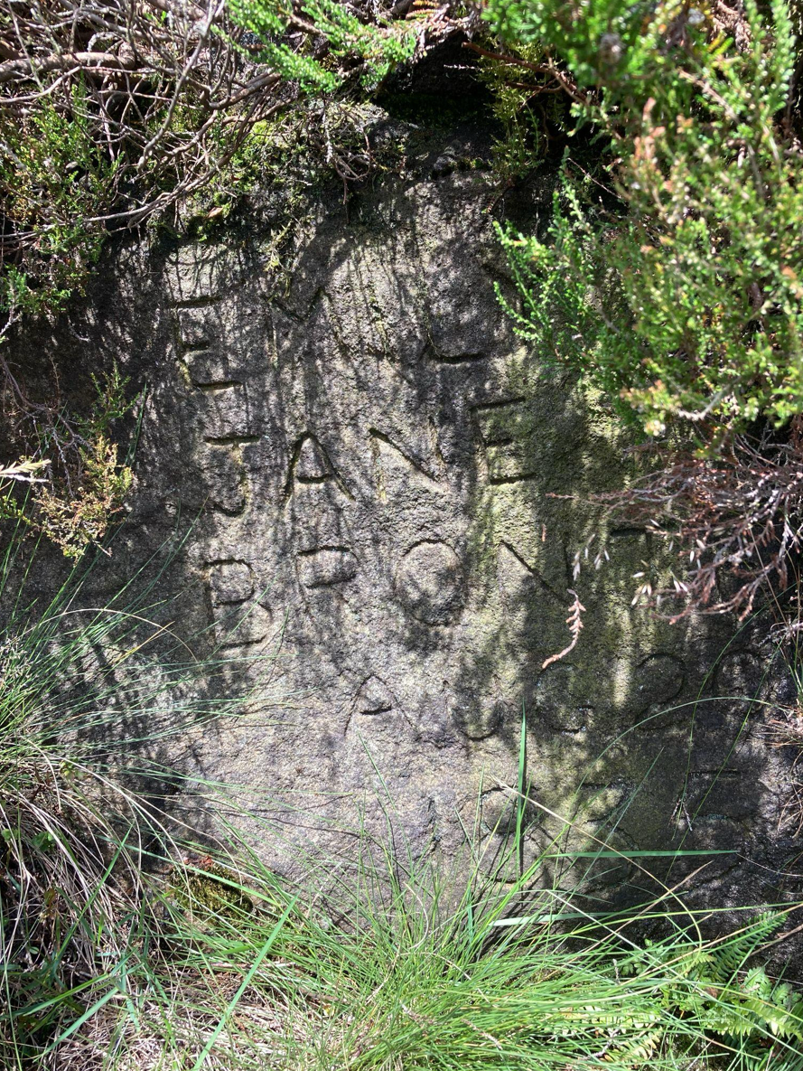
This huge boulder was carried here in the bog burst. Photo: John Page
The following year in 1825 The Edinburgh Journal of Science published an academic article by David Brewster : Notice of the Rare Atmospheric Phenomenon 1824 in which reference is made to the bog burst.
“Reports from Kelso, Berwick, Belford, Newcastle, and many places in Yorkshire and Northumberland, give accounts of a most alarming storm of thunder and lightning having occurred, accompanied with a’ vast quantity of rain, and spreading destruction over a great extent of the country.—Many men and domestic animals were killed by the lightning. It was during this storm that the subterraneous bog burst at Keighley in Yorkshire, which may be traced to the vast torrents of rain that seem to have accompanied the contemporaneous storm.”
Prior to the bog burst a period of high temperatures and dry conditions were followed by several days of exceptionally heavy rain. This would have led to a very large build-up of water in a dry Stanbury Bog, creating extremely unstable conditions in the deep peat overlaying the sedimentary bedrock. A slippery shear plane formed between the contrasting peat and sandstone, causing the the deep peat to slide down the convex slope. The mudslide would flow north-easterly under gravity into the steep sided valley of the Ponden Clough Beck. Fortunately there was no reservoir in 1824, for the force of the bog burst would have destroyed the dam, adding the reservoir’s water to a murderous torrent heading for Haworth.
Bog bursts are not uncommon. A lot of academic research has been done in recent years on them, and they are often caused by wind farm construction. The Irish Peatland Conservation Council wrote this:
“Bog bursts” or peat flows are a dramatic form of peat erosion. Sections of peat on sloped areas can break off from the main body of a blanket bog and flow down-slope, similar to a volcanic lava flow. Bog bursts usually happen after heavy rain on sites which have been put under human pressures, such as overgrazing, turf cutting or wind farm construction. For example, the construction of a wind farm at Derry Brien, county Galway resulted in a large bog burst causing almost half a square km of blanket bog to travel 2.5 km (Lindsay and Bragg, 2005). During a bog burst it is thought that the living plant layer of the bog tears due to stress and the very wet peat centre flows under the influence of gravity. Other bog bursts have been recorded in Ben Gorm in Connemara, on Clare Island in Co. Mayo and 52 separate bog bursts were recorded at Pollatomish, Co. Mayo”.
Film was taken of a small peat slide on relatively flat ground, caused by construction of Viking WF on Shetland.
Given that CWF Ltd presented such an unfinished proposal at their public consultation, we can have no confidence at all that any thought has gone into the potential for catastrophic peat slides on the north side of CEP.
Flooding and Calderdale Energy Park
Flooding and Calderdale Energy Park
Calderdale Energy Park is not a properly designed wind farm and it will greatly increase the risk of catastrophic flooding in the Calder Valley.
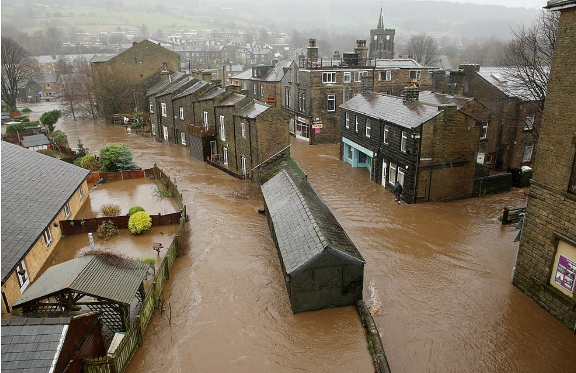
2015 flood in Mytholmroyd. Photo: BBC
The Walshaw catchment is already known to be very dangerous. This post will show how CEP will greatly add to catastrophic flood risk. Most of the time CEP will raise the runoff rate but will not cause a flood because river levels are low. Our analysis is always to do with storm outflow. CEP might only increase catastrophic flood risk on a few days every year, but when it does the risk is severely increased.
The Walshaw catchment focuses storm runoff into three exits that enter the Calder Valley. The catchments of the three exits are shown in the map below: Greave Clough, Walshaw Dean and Crimsworth Dean.
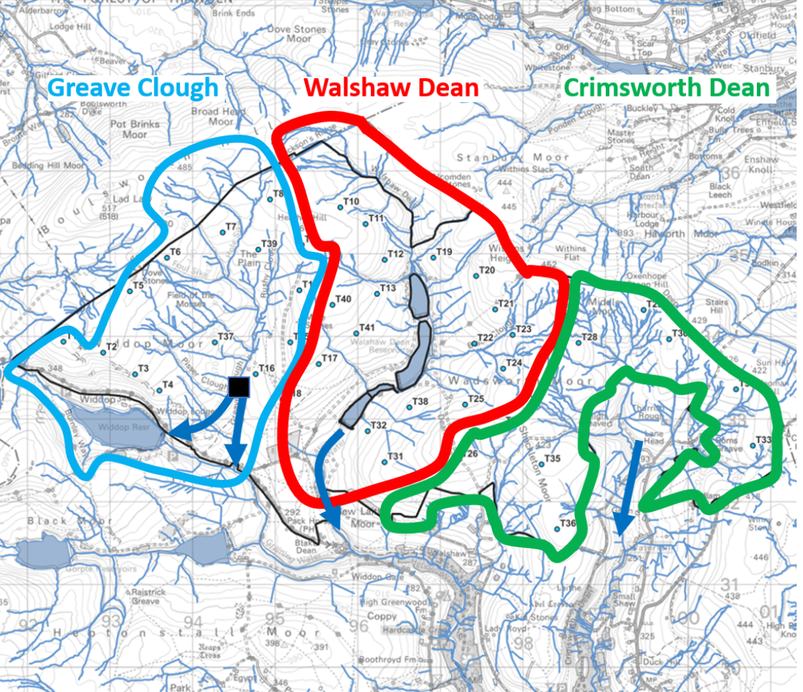
Storm runoff is focussed by the three Walshaw catchments: Greave Clough, Walshaw Dean and Crimsworth Dean. In Greave Clough there is a sluice which gathers the catchment and sends it down a tunnel to Widdop reservoir. In a storm the tunnel is overwhelmed and runoff goes over the sluice and directly to the Calder Valley. Map: WTRG
All CEP infrastructure accelerates storm runoff. Each turbine site has a buried concrete foundation and a crane hardstanding with an area of 0.5 ha, all with drainage ditches. The turbine sites are accessed by spur tracks, and the spurs are connected by a spine track and all tracks have drainage ditches. Cables run in buried concrete ducts along the spurs and spines. The spur tracks are the most important in flood risk during storms and peat destruction at all times. The spurs dry the peat by draining it. The CEP spur roads are far more damaging to the peat than the Walshaw Moor Estate drains.
The position of the infrastructure relative to the watersheds and the contours is critical in analysing its effect on storm runoff. The turbine sites determine the track layout, but the spurs are directly involved in catastrophic storm runoff. The next two diagrams show how much this can vary.

The watershed spine track across the Wadsworth plateau does not itself greatly increase storm runoff or peat drainage. The spurs to T25, T26 and T28 will drain the prime peat on the plateau at all times, and act as storm drains. Map: WTRG
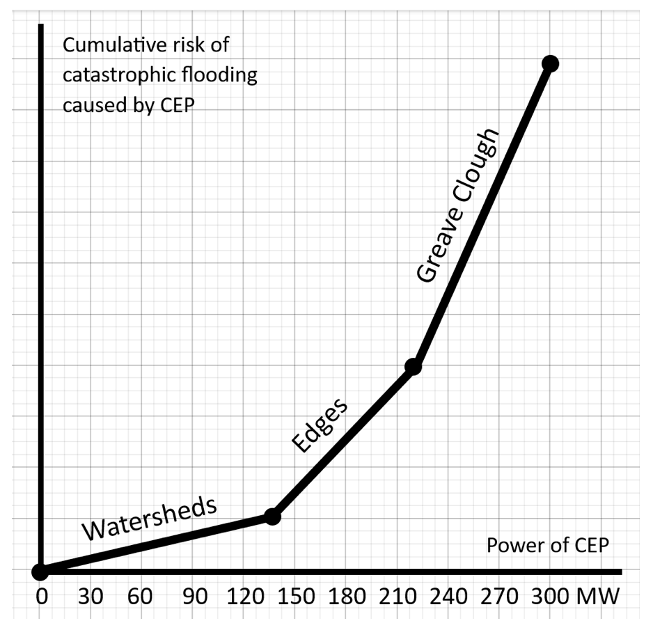
In a storm the CEP infrastructure has different effects. Infrastructure on a watershed has much less effect than turbines on the edges or slopes and their access tracks. The effect of the infrastructure depends on which catchment it is in.
Greave Clough catchment
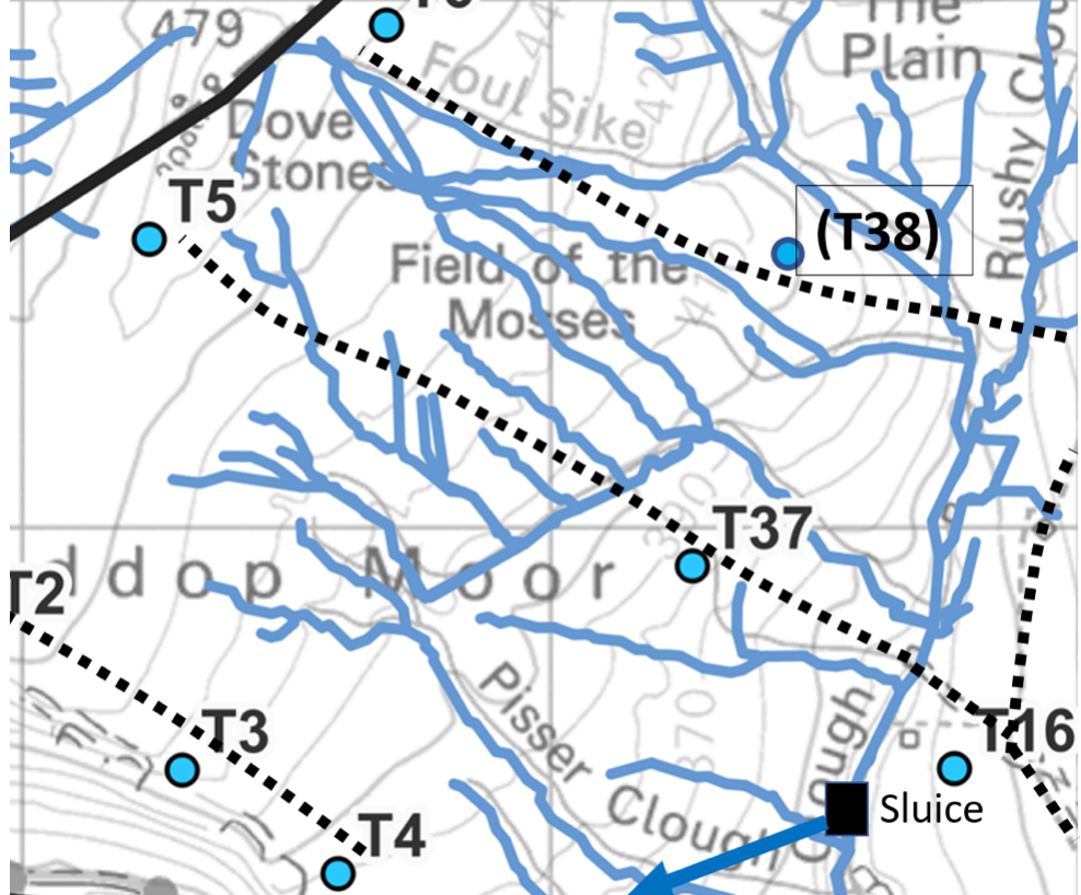
In the Greave Clough catchment, the storm runoff is focussed on the sluice and tunnel. All the runoff passes through an active Yorkshire Water asset. When the tunnel is overwhelmed the runoff goes over the dam, down the spillway and direct to Hebden Bridge. If Widdop Reservoir is full, the tunnel runoff will go down the Widdop Dam spillway to Hebden Bridge. The switch at the sluice in a storm greatly increases the speed of runoff from CEP. Since the CEP tracks in the Greave Clough catchment act as storm drains, the infrastructure west of Greave Clough has a massive effect on catastrophic flooding.
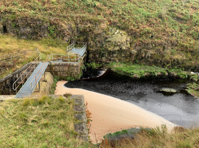
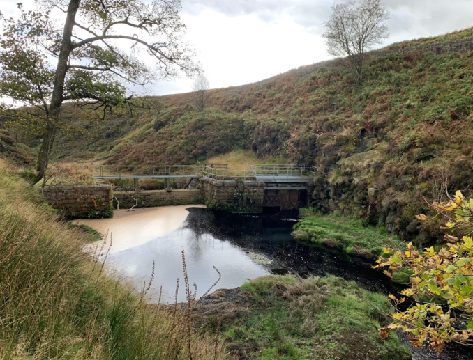
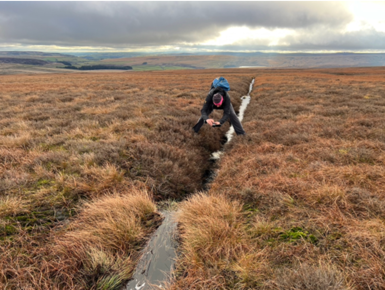
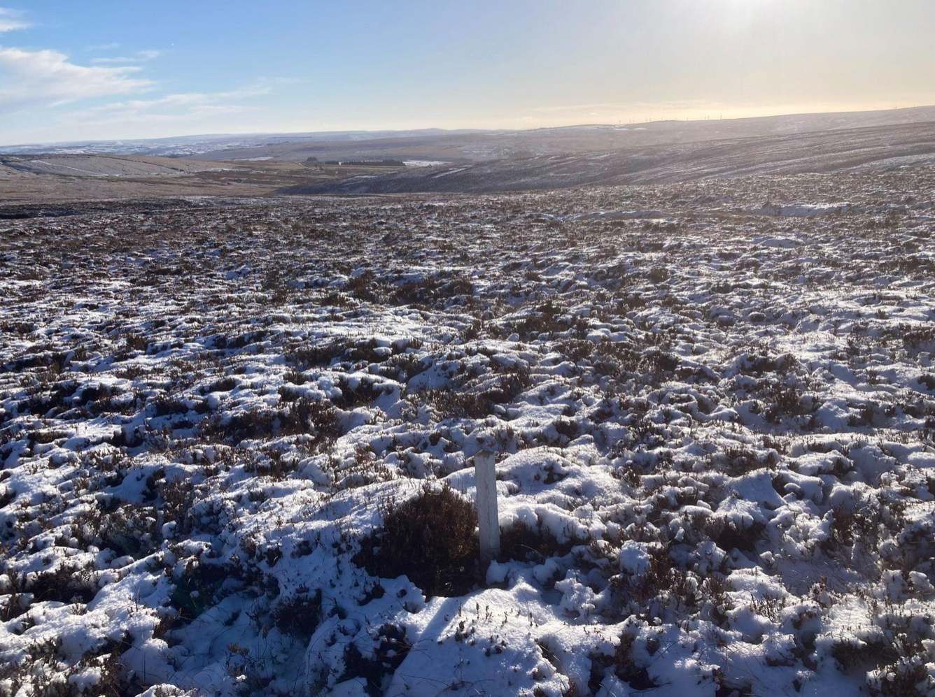
The storm runoff all passes through an active Yorkshire Water asset. If the reservoirs are full, the storm runoff goes down the spillways to Hebden Bridge. Some infrastructure is on the Heather Hill watershed. Much of it is on spurs off the watershed, and the spurs will dry the peat and act as storm drains.
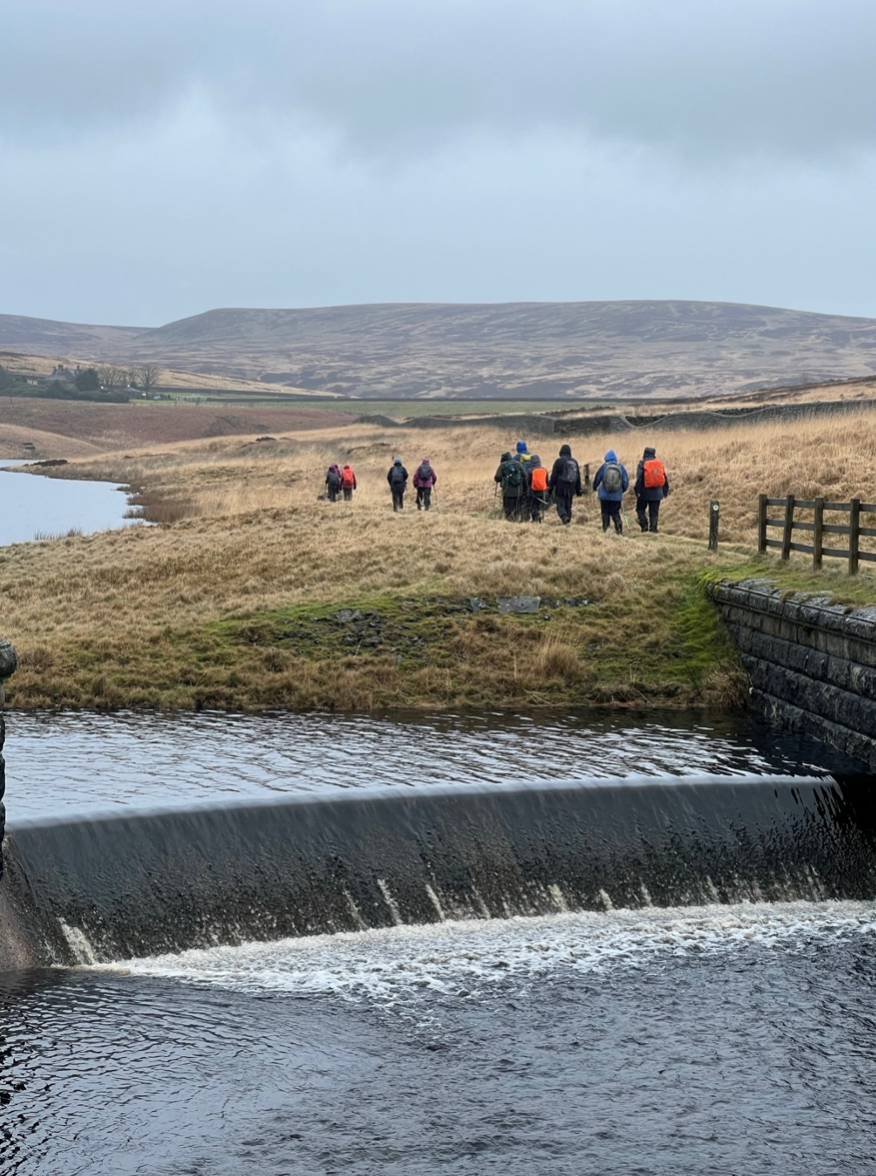
Crimsworth Dean catchment
This is the largest catchment and has the strongest focus. Most of the CEP infrastructure is near the watersheds. In the valley the water control assets are ruined or defunct.
Effect of CEP on catastrophic flooding
We have seen that some CEP infrastructure will have disproportionate effect on catastrophic flooding compared with tracks and turbines on the watershed. The indicative diagram shows how the risk of catastrophic flooding increases with the size of CEP. All infrastructure increases storm runoff rates, but some has a massive effect.
© WTRG
