Flooding and Calderdale Energy Park
Calderdale Energy Park is not a properly designed wind farm and it will greatly increase the risk of catastrophic flooding in the Calder Valley.
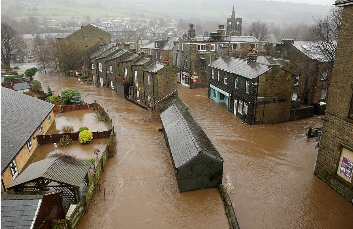
2015 flood in Mytholmroyd. Photo: BBC
The Walshaw catchment is already known to be very dangerous. This post will show how CEP will greatly add to catastrophic flood risk. Most of the time CEP will raise the runoff rate but will not cause a flood because river levels are low. Our analysis is always to do with storm outflow. CEP might only increase catastrophic flood risk on a few days every year, but when it does the risk is severely increased.
The Walshaw catchment focuses storm runoff into three exits that enter the Calder Valley. The catchments of the three exits are shown in the map below: Greave Clough, Walshaw Dean and Crimsworth Dean.
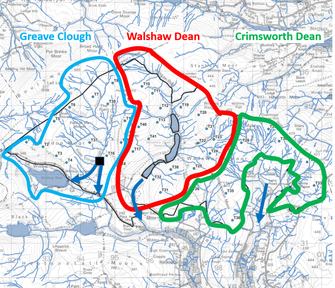
Storm runoff is focussed by the three Walshaw catchments: Greave Clough, Walshaw Dean and Crimsworth Dean. In Greave Clough there is a sluice which gathers the catchment and sends it down a tunnel to Widdop reservoir. In a storm the tunnel is overwhelmed and runoff goes over the sluice and directly to the Calder Valley. Map: WTRG
All CEP infrastructure accelerates storm runoff. Each turbine site has a buried concrete foundation and a crane hardstanding with an area of 0.5 ha, all with drainage ditches. The turbine sites are accessed by spur tracks, and the spurs are connected by a spine track and all tracks have drainage ditches. Cables run in buried concrete ducts along the spurs and spines. The spur tracks are the most important in flood risk during storms and peat destruction at all times. The spurs dry the peat by draining it. The CEP spur roads are far more damaging to the peat than the Walshaw Moor Estate drains.
The position of the infrastructure relative to the watersheds and the contours is critical in analysing its effect on storm runoff. The turbine sites determine the track layout, but the spurs are directly involved in catastrophic storm runoff. The next two diagrams show how much this can vary.
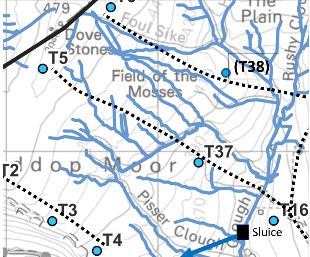

The watershed spine track across the Wadsworth plateau does not itself greatly increase storm runoff or peat drainage. The spurs to T25, T26 and T28 will drain the prime peat on the plateau at all times, and act as storm drains. Map: WTRG
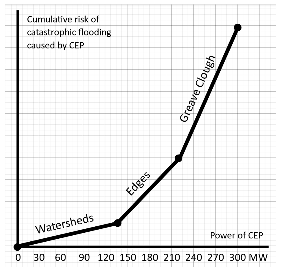
In a storm the CEP infrastructure has different effects. Infrastructure on a watershed has much less effect than turbines on the edges or slopes and their access tracks. The effect of the infrastructure depends on which catchment it is in.
Greave Clough catchment
In the Greave Clough catchment, the storm runoff is focussed on the sluice and tunnel. All the runoff passes through an active Yorkshire Water asset. When the tunnel is overwhelmed the runoff goes over the dam, down the spillway and direct to Hebden Bridge. If Widdop Reservoir is full, the tunnel runoff will go down the Widdop Dam spillway to Hebden Bridge. The switch at the sluice in a storm greatly increases the speed of runoff from CEP. Since the CEP tracks in the Greave Clough catchment act as storm drains, the infrastructure west of Greave Clough has a massive effect on catastrophic flooding.
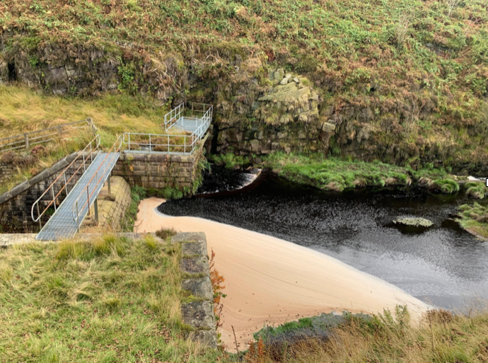
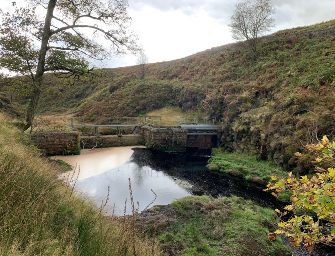
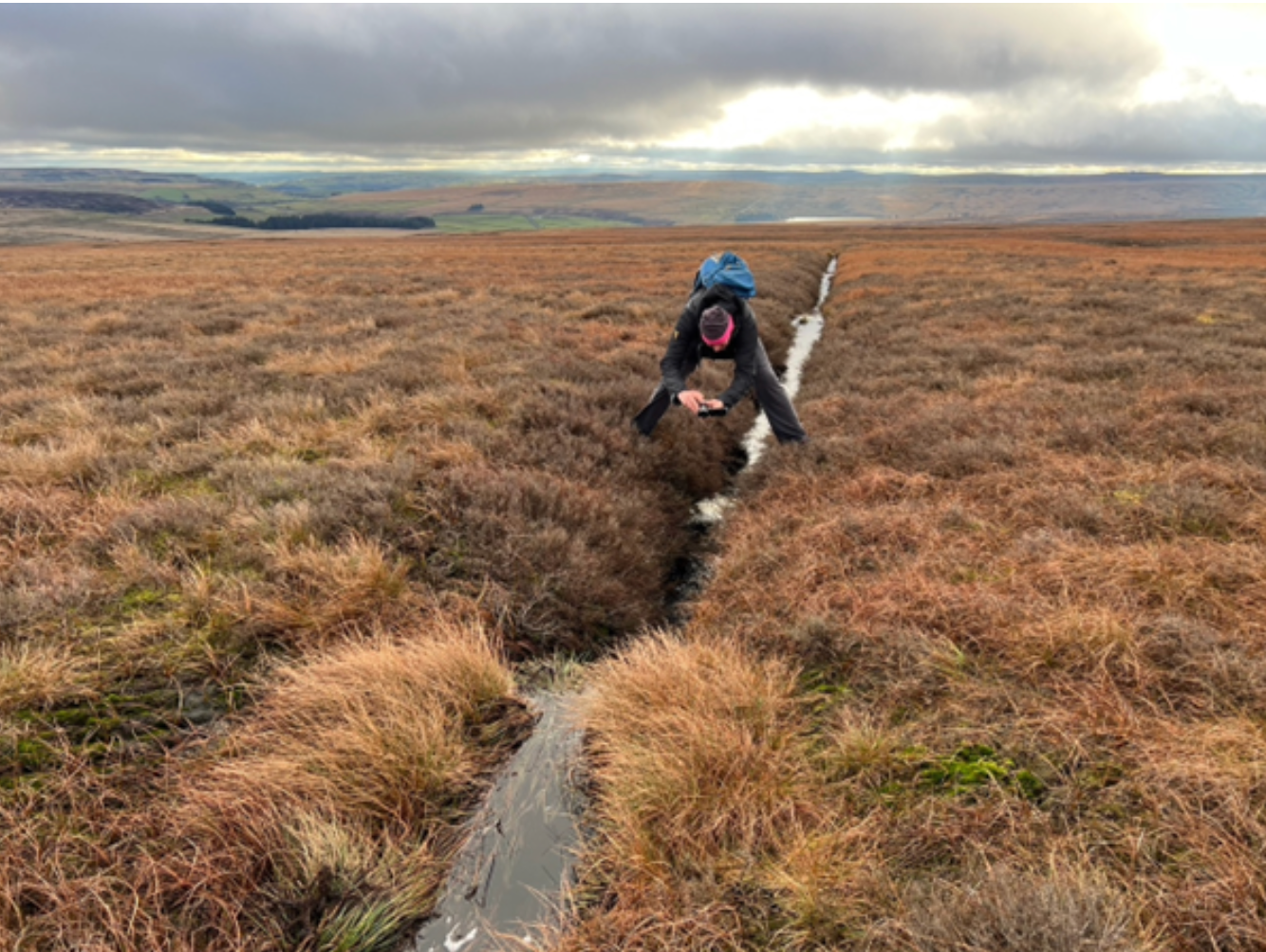
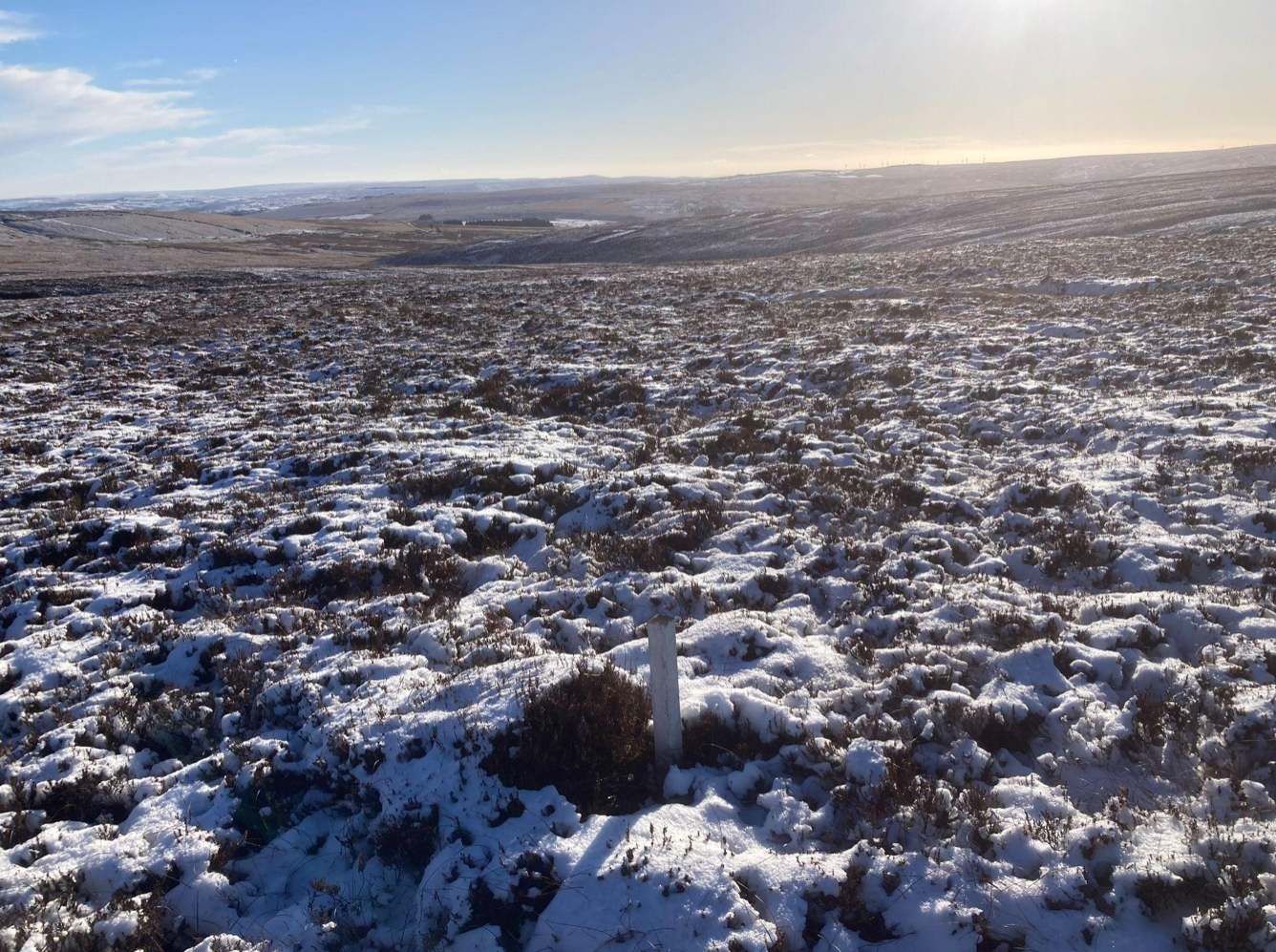
The storm runoff all passes through an active Yorkshire Water asset. If the reservoirs are full, the storm runoff goes down the spillways to Hebden Bridge. Some infrastructure is on the Heather Hill watershed. Much of it is on spurs off the watershed, and the spurs will dry the peat and act as storm drains.
Crimsworth Dean catchment
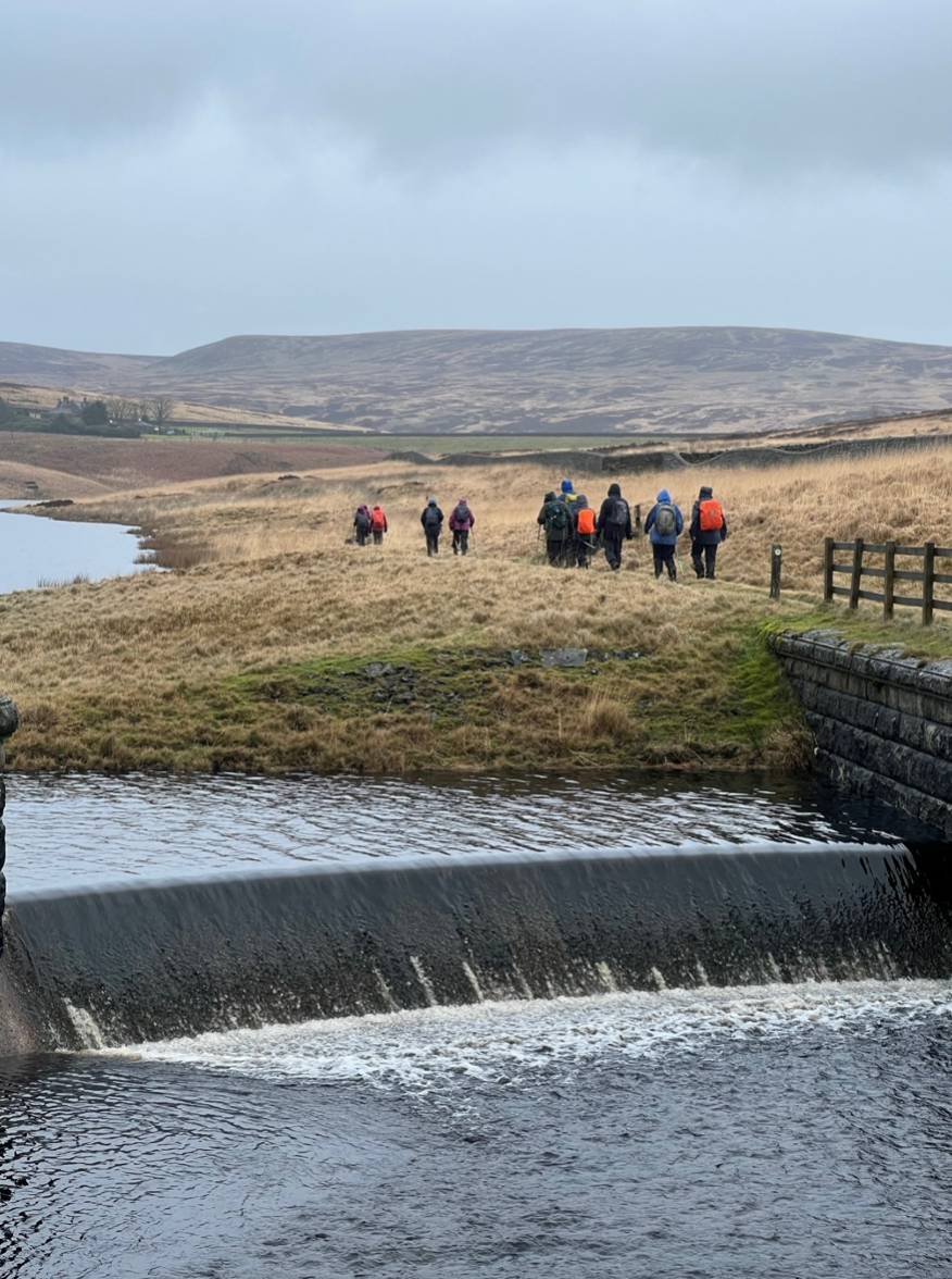
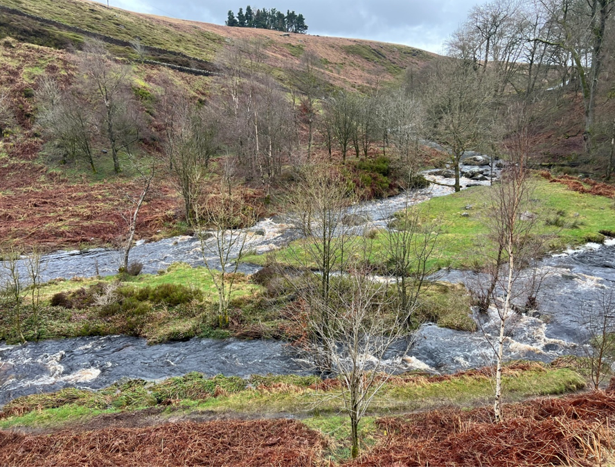
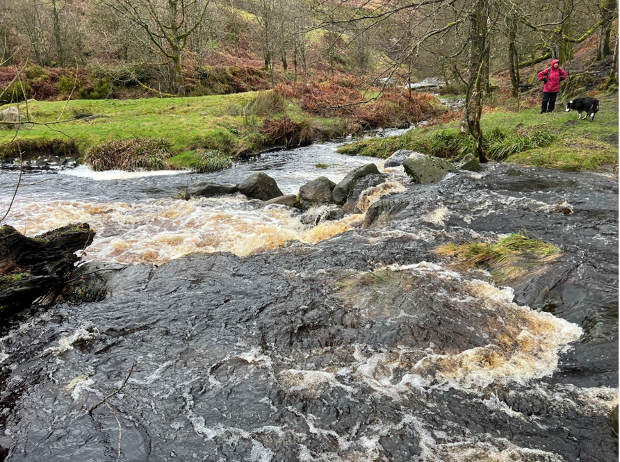
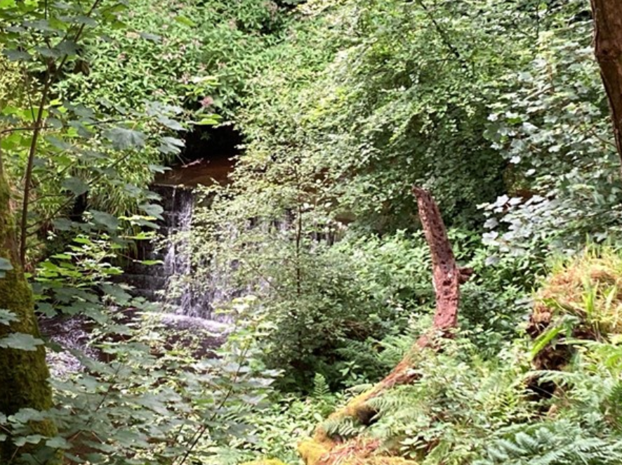
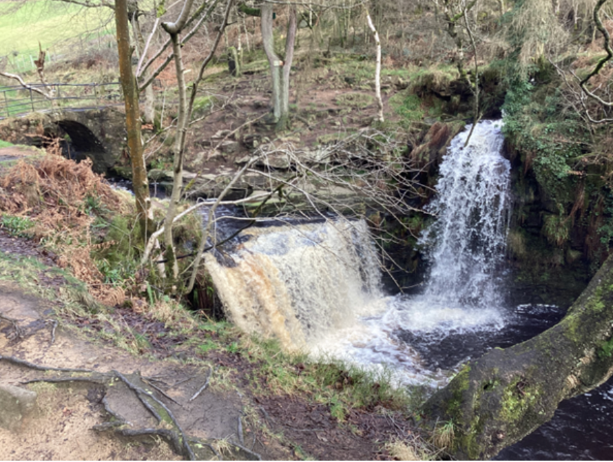
This is the largest catchment and has the strongest focus. Most of the CEP infrastructure is near the watersheds. In the valley the water control assets are ruined or defunct.
Effect of CEP on catastrophic flooding
We have seen that some CEP infrastructure will have disproportionate effect on catastrophic flooding compared with tracks and turbines on the watershed. The indicative diagram shows how the risk of catastrophic flooding increases with the size of CEP. All infrastructure increases storm runoff rates, but some has a massive effect.
© WTRG
